Welp sports fans, with the start of the race a mere day away, i can finally share with you the maps Lee and i have been working on for the past several months! Each team of racers receives a pack of 17 maps featureing an index map overviewing the race route in its entirety, and 16 large scale maps used for navigational purposes.
This years race format will be as follows: Bike 60km -> Kayak 47km -> Hike 73km -> Kayak 58km -> Hike 191 km -> Bike 188km for a grand total of 617 km!
This is the index map detailing the race route in its entirety. It features the start, the finish, everything in between including mandatory race check points, transitions between race disciplines, and then some! The scale is 1:750,000 and the map is projected in UTM zone 19.

And so as not to make this redundant i will share maps featuring the check points i will be responsible for guiding camera crews around - check point 5 and 10. The maps are a 1:50,000 scale with 20 meter contour intervals derived from
NASA SRTM imagery.

A unique problem we faced in creating the orienteering maps was keeping the meridians running perfectly north south, and keeping the parallels perpendicular to those, all the while minimizing perceived distortion in the landscape. To do this, Lee and I created custom map projections for each of the large scale maps.

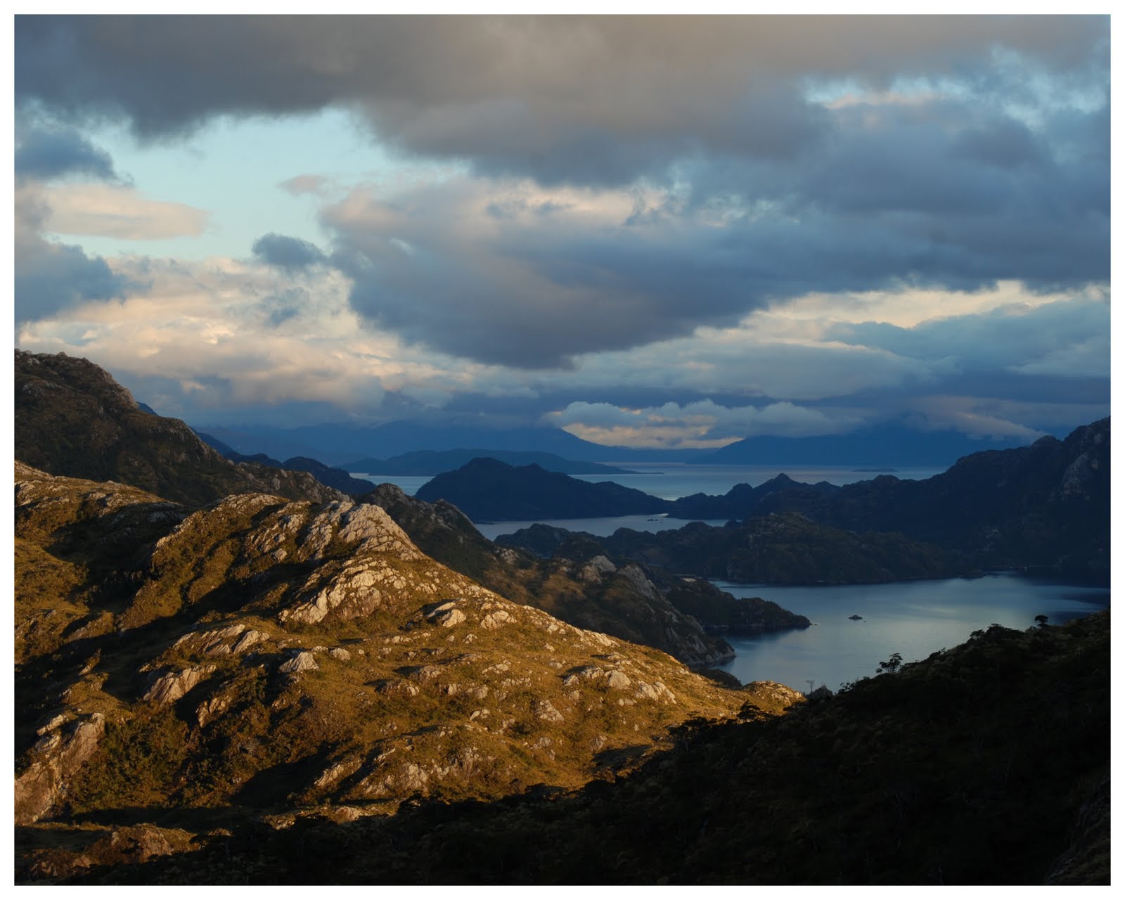
Worth noting: I feel super fortunate to be working around check points 5 and 10 as they are , in my opinion, two of the most scenic check points in the race. Check point 5, named Paso Profundo or the Deep Pass, sits high above a beautiful valley surrounded by waterfalls and mountains with some pretty severe relief. Check point 10, named Mirador Fiorodos or View point of the Fjords, situated high above a beautiful, glacially sculpted valley lends itself to an amazing vista of Estero Obstrucion, Ensenada Rodgriguez, Estero Excelsior, and numerous glacial lakes. And that´s pretty much that. Feels good to be done, feels better to be heading out into the field again! Have a great week everyone!